Ventura River Valley – Lower Ventura River
Statistics
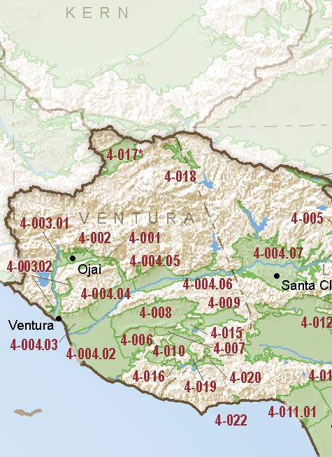
- Basin Name
- Ventura River Valley – Lower Ventura River
- Basin Number
- 4-003.02
- SGMA Basin Priority
- Very Low
- Critically Overdrafted
- No
- Hydrologic Region Name
- South Coast
- Counties
- Ventura
At-A-Glance
Located in California’s South Coast hydrologic region, the Ventura River Valley – Lower Ventura River subbasin is 5300 acres in size. This Very Low priority basin is home to an estimated 15911 people (2010 value). It has approximately 18 wells, of which approximately 0 are water supply wells. Groundwater accounts for approximately 41 percent of the basin’s water supply.
Basin Notes
2003: Bulletin 118 basin description
2013: Sustainable Water Use in the Ventura River Watershed, Bren School of Environmental Science and Management, University of California at Santa Barbara (UCSB)
2014: CASGEM Basin Prioritization: very low
2015: Ventura River Watershed Management Plan, Ventura River Watershed Council 2
2018: Basin prioritization: Medium. Comments on groundwater levels and salt intrusion
- Although groundwater levels in the Oxnard Plain area (Mound, Oxnard, Santa Paula, Pleasant Valley, & Las Posas Valley) have been relatively stable or have shown an increasing trend, in the coastal regions this stability is largely due to seawater intrusion and results in water of unusable quality replacing high quality groundwater. Management Agency focused on containing seawater intrusion within the south Oxnard Plain basin. Since that time, management changes, including pumping reductions, shifting of pumping locations, construction of the Freeman Diversion, and the operation of the Pumping Trough and Pleasant Valley pipeline systems have significantly reduced seawater intrusion, but seawater intrusion conditions persist. Source: Central Coast Groundwater: Seawater Intrusion and Other Issues, California Water Foundation 8/4/2014
2018 Final Basin Prioritization: Very Low.