Salinas Valley – Langley Area
Statistics
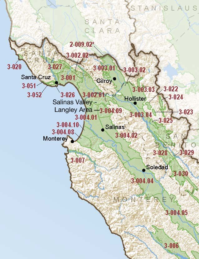
- Basin Name
- Salinas Valley – Langley Area
- Basin Number
- 3-004.09
- SGMA Basin Priority
- High
- Critically Overdrafted
- No
- Hydrologic Region Name
- Central Coast
- Counties
- Monterey
At-A-Glance
Located in California’s Central Coast hydrologic region, the Salinas Valley – Langley Area subbasin is 17,619 acres in size. This High priority basin is home to an estimated 11,236 people (2010 value). It has approximately 1065 wells, of which approximately 86 are water supply wells. Groundwater accounts for approximately 100 percent of the basin’s water supply.
Basin Notes
2003: Bulletin 118 basin description
2014: Basin priority: medium
2015: Declining groundwater levels noted in State of the Salinas River Groundwater Basin, Monterey County Resource Management Agency 2016: Basin boundary modifications approved with the Santa Cruz Purisima 3-021, Pajaro Valley 3-002, Langley Area 3-004.09, and 180/400 Foot Aquifer subbasins.
Bulletin 118 Interim Update: Various portions of the original Pajaro Valley Basin were moved to three adjacent subbasins/basins— 180/400 Foot Aquifer Subbasin (3-004.01), Langley Area Subbasin (3-004.09), and the newly formed Santa Cruz Mid-County (3-001) Basin. A portion of the for- mer Santa Cruz Purisima Formation Basin (3-21) was added to this basin. The Pajaro Valley Basin was also reclassified as a subbasin.
Revised boundary description notes
2018: Basin prioritization comment: Seawater intrusion began in the Salinas Valley by the 1930s. Since that time, seawater intrusion has continued and now extends more than five miles inland. The Monterey County Flood Control and Water Conservation District built Nacimiento Dam in 1957 and an Antonio Dam in 1965 to provide flood control and to accelerate groundwater recharge to mitigate seawater intrusion. In April 1998, the Monterey County Water Recycling Projects started delivering recycled water for irrigation in lieu of groundwater pumping, effectively slowing the seawater intrusion rate (MCWRA, 2006). The Salinas Valley Water Project is currently being implemented by the Monterey County Water Resources Agency to mitigate groundwater overdraft and seawater intrusion. The project includes mitigation measures such as construction or retrofit of recharge dams, protection of recharge areas, and injection of recycled water into the impacted aquifers.
2018 Final Basin Prioritization: Basin status is changed from Hedium to High priority.
2022: January 24 – Groundwater Sustainability Plan submitted to DWR
2023: April 27 – GSP approved by DWR